Skip to search
Skip to main content
Digital Commonwealth
Sign Up / Log In
Search for
Search
Search
Search
Basic
Advanced
Explore
Map
Collections
Institutions
Formats
For Educators
Primary Source Sets
Lesson Plans
Using Primary Sources
Searching Digital Commonwealth
For Institutions
Join Digital Commonwealth
Conferences, Trainings, & Events
How to Contribute Collections
Digitization Services
Board & Committees
Frequently Asked Questions
About
About Digital Commonwealth
News & Announcements
Copyright & Terms of Use
Harmful Content Statement
Partners
API
Contact Us
Boston Public Library
Norman B. Leventhal Map Center Collection
/
Urban Maps (Collection of Distinction)
/
Boston and New England Maps (Collection of Distinction)
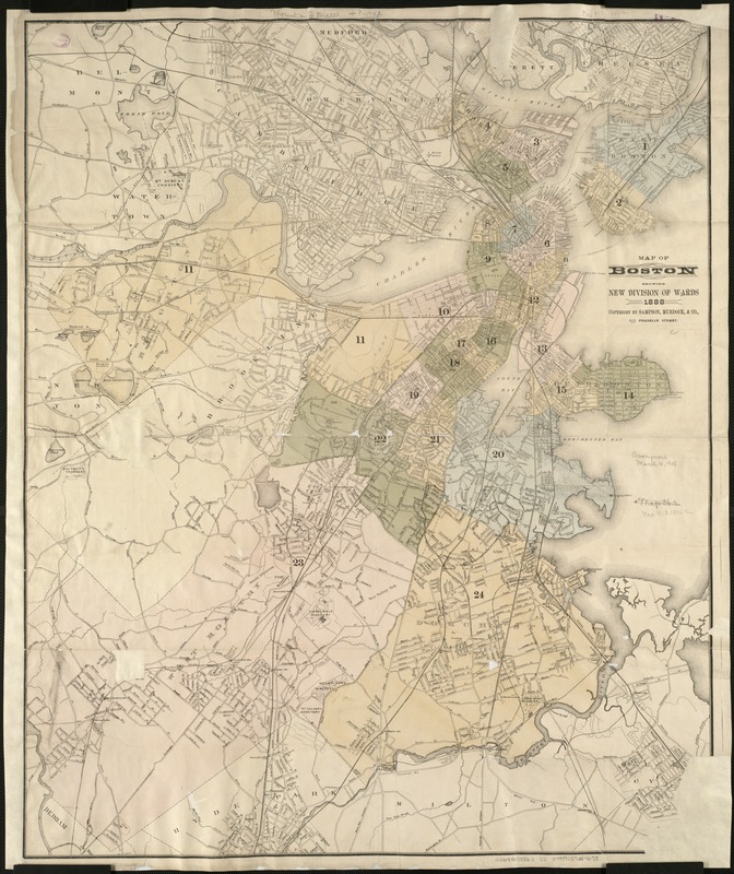
Map of Boston showing new division of wards
Map of Boston showing new division of wards
×
Item Information
Title:
Map of Boston showing new division of wards
Creator:
Sampson, Murdock & Co
Date:
1886
Format:
Maps/Atlases
Location:
Boston Public Library
Norman B. Leventhal Map Center
Collection (local):
Norman B. Leventhal Map Center Collection
Subjects:
Boston (Mass.)--Administrative and political divisions--Maps
Places:
Suffolk (county)
>
Boston
Extent:
1 map ; 82 x 67 cm.
Permalink:
https://ark.digitalcommonwealth.org/ark:/50959/9s161c033
Terms of Use:
No known copyright restrictions.
No known restrictions on use.
Publisher:
Boston : Sampson, Murdock & Co.
Scale:
Scale not given.
Language:
English
Identifier:
06_01_005488
Call #:
G3764.B6 1886.2 .S2
Barcode:
39999059014678
show more...
View MODS XML
More Like This
Map of Boston 1875 : from A. Williams & Cos. map of Boston and the ...
Map of Boston boundary line changes
Map of Boston showing proposed new division of wards Oct. 1875
Map of the city of Boston
Find More Like This >>
Tools
Share
Facebook
Pinterest
X
Reddit
Tumblr
Email
Copy link
Add to Folder
Questions/Comments
Cite This Item
IIIF Manifest
Downloads
Primary (full resolution, uncompressed)
(TIF, 192 MB)
Large (full resolution)
(JPEG, 16.1 MB)
Medium
(JPEG, 230 KB)