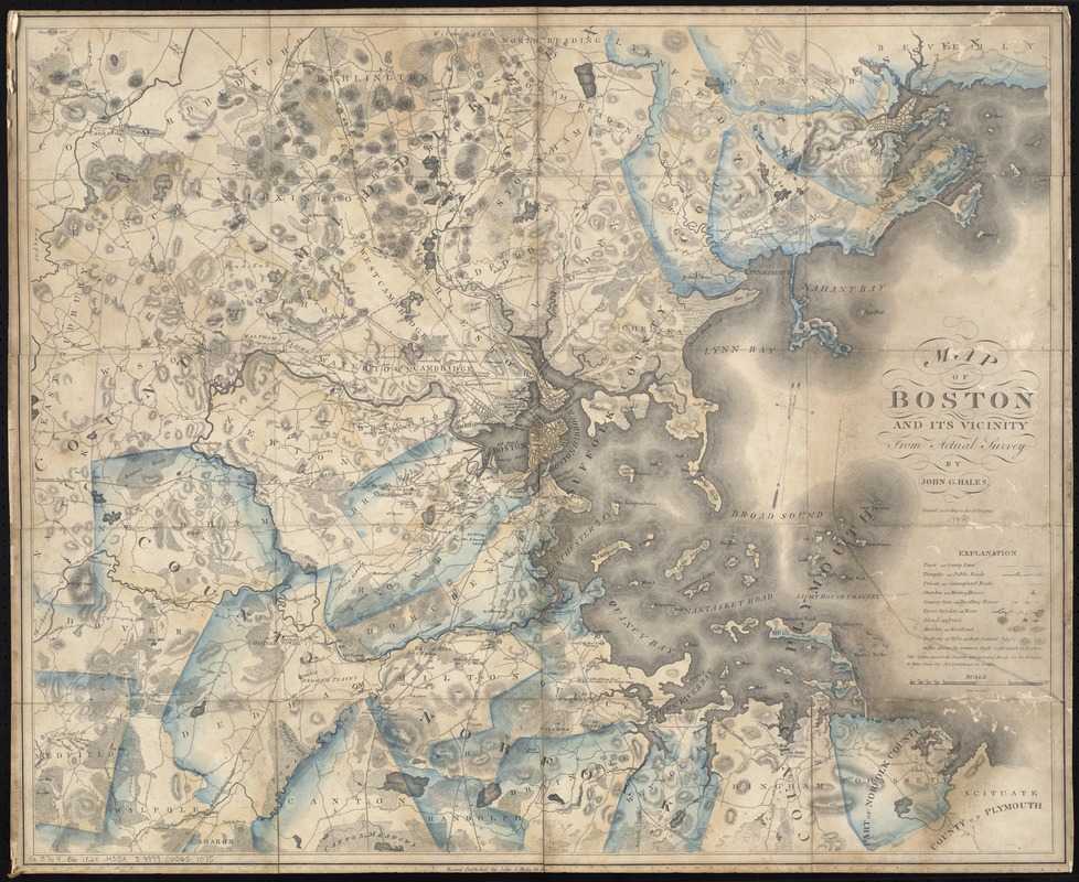
Relief shown by hachures and spot heights.
Shows dwellings, occupants, and distances along roads from the State House in Boston.
Differs from other 1820 map by a larger scale, lack of some place names, and lack of a note about the Charles River at the Mother Brook.