Skip to search
Skip to main content
Digital Commonwealth
Sign Up / Log In
Search for
Search
Search
Search
Basic
Advanced
Explore
Map
Collections
Institutions
Formats
For Educators
Primary Source Sets
Lesson Plans
Using Primary Sources
Searching Digital Commonwealth
For Institutions
Join Digital Commonwealth
Conferences, Trainings, & Events
How to Contribute Collections
Digitization Services
Board & Committees
Frequently Asked Questions
About
About Digital Commonwealth
News & Announcements
Copyright & Terms of Use
Harmful Content Statement
Partners
API
Contact Us
Boston Public Library
Norman B. Leventhal Map Center Collection
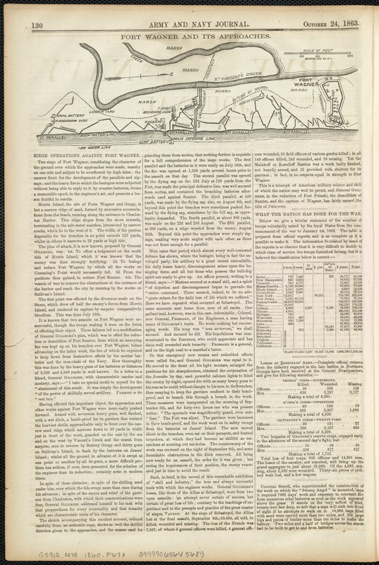
Fort Wagner and its approaches
Fort Wagner and its approaches
×
Item Information
Title:
Fort Wagner and its approaches
Date:
1863
Format:
Maps/Atlases
Location:
Boston Public Library
Norman B. Leventhal Map Center
Collection (local):
Norman B. Leventhal Map Center Collection
Subjects:
Fortification--South Carolina
Fort Wagner (S.C.)--Maps
Places:
Charleston (county)
>
Morris Island
(island)
Extent:
1 map ; 8 x 22 cm.
Permalink:
https://ark.digitalcommonwealth.org/ark:/50959/8336h346f
Terms of Use:
No known copyright restrictions.
No known restrictions on use.
Publisher:
New York : [s.n.]
Scale:
Scale ca. 1:7,200.
Language:
English
Notes:
From the Army and Navy Journal. October 24, 1863 ed. Vol. 1, no. 9, p. 130.
Oriented with north toward the upper right.
Identifier:
06_01_007631
Call #:
G3912.M75 1860 .F67x
Barcode:
39999065645689
show more...
View MODS XML
More Like This
The 100th anniversary map of Abraham Lincoln's visit to ...
1630 shoreline
1879. Progress map of the U.S. Geographical Surveys west of the ...
1903 Map of Salem and surrounding places
Find More Like This >>
Tools
Share
Facebook
Pinterest
X
Reddit
Tumblr
Email
Copy link
Add to Folder
Questions/Comments
Cite This Item
IIIF Manifest
Downloads
Primary (full resolution, uncompressed)
(TIF, 104 MB)
Large (full resolution)
(JPEG, 8.7 MB)
Medium
(JPEG, 204 KB)