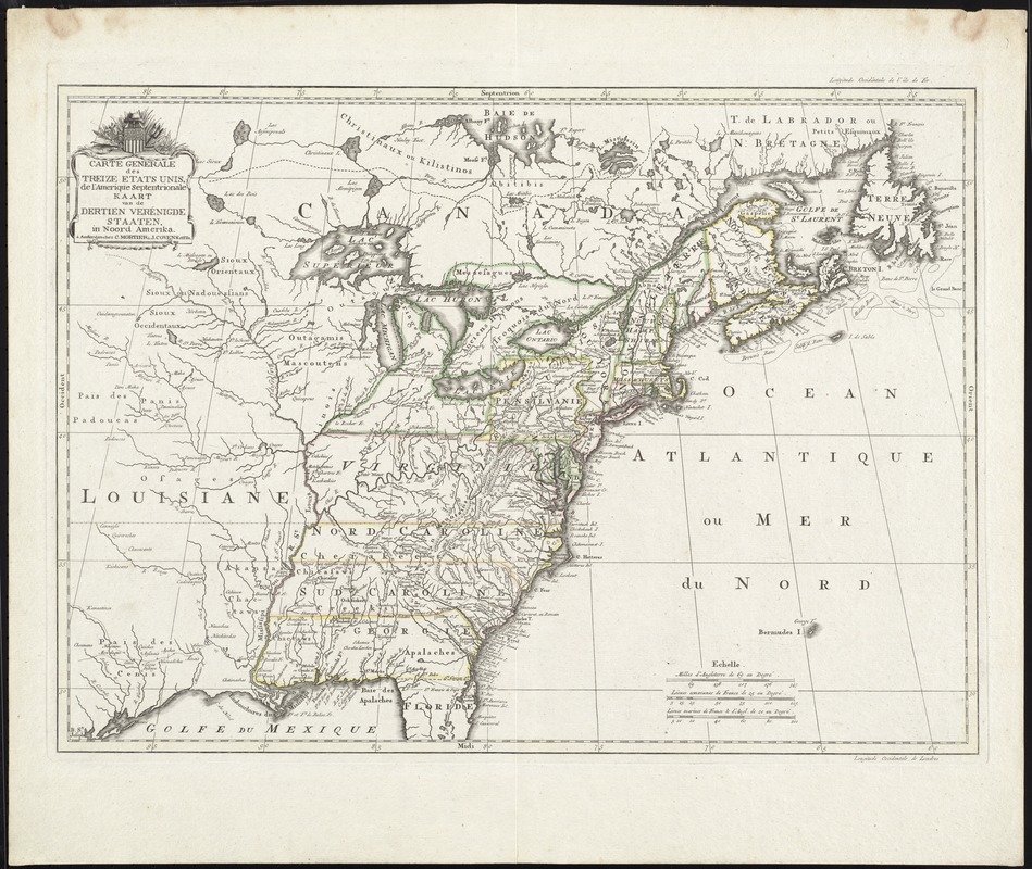
Carte generale des treize Etats Unis, de l'Amerique septentrionale = Kaart van de dertien Verénigde Staaten, in Noord Amerika
Item Information
- Title:
- Carte generale des treize Etats Unis, de l'Amerique septentrionale = Kaart van de dertien Verénigde Staaten, in Noord Amerika
- Title (alt.):
-
Kaart van de dertien Verénigde Staaten, in Noord Amerika
- Date:
-
[1782?]
- Format:
-
Maps/Atlases
- Location:
- George Washington's Mount Vernon
- Collection (local):
-
Richard H. Brown Revolutionary War Map Collection at Mount Vernon
- Subjects:
-
United States--Maps--Early works to 1800
- Places:
-
- Extent:
- 1 map : hand col. ; 40 x 55 cm.
- Permalink:
- https://ark.digitalcommonwealth.org/ark:/50959/8049g937v
- Terms of Use:
-
No known copyright restrictions.
This work is licensed for use under a Creative Commons Attribution Non-Commercial Share Alike License (CC BY-NC-SA).


