Skip to search
Skip to main content
Digital Commonwealth
Sign Up / Log In
Search for
Search
Search
Search
Basic
Advanced
Explore
Map
Collections
Institutions
Formats
For Educators
Primary Source Sets
Lesson Plans
Using Primary Sources
Searching Digital Commonwealth
For Institutions
Join Digital Commonwealth
Conferences, Trainings, & Events
How to Contribute Collections
Digitization Services
Board & Committees
Frequently Asked Questions
About
About Digital Commonwealth
News & Announcements
Copyright & Terms of Use
Harmful Content Statement
Partners
API
Contact Us
Boston Public Library
Norman B. Leventhal Map Center Collection
/
Boston Redevelopment Authority Collection
/
Urban Maps (Collection of Distinction)
/
Boston and New England Maps (Collection of Distinction)
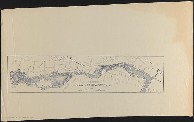
Plan of the parkway between Muddy River gate house and Jamaica Park 1892
Plan of the parkway between Muddy River gate house and Jamaica Park 1892
×
Item Information
Title:
Plan of the parkway between Muddy River gate house and Jamaica Park 1892
Publisher:
Boston (Mass.). Department of Parks
Cartographer:
Jackson, William
Cartographer:
F.L. Olmsted and Company
Name on Item:
City of Boston - Park Department, Thomas L. Livermore, Francis A. Walker, Paul H. Kendricken, commissioners ; William Jackson, city engineer ; F.L. Olmsted and Co. landscape architects ; P.R. James del
Date:
1893
Format:
Maps/Atlases
Location:
Boston Public Library
Norman B. Leventhal Map Center
Collection (local):
Norman B. Leventhal Map Center Collection
Series:
Boston Redevelopment Authority Maps & Manuscript Plans Collection
Subjects:
Parks--Massachusetts--Boston--Maps
City planning--Massachusetts--Boston--Maps
Boston (Mass.)--Maps
Places:
Suffolk (county)
>
Boston
Extent:
1 map ; 21 x 88 cm
Permalink:
https://ark.digitalcommonwealth.org/ark:/50959/7w62hs24v
Terms of Use:
No known copyright restrictions.
No known restrictions on use.
Publisher:
Boston : City of Boston - Park Department
Scale:
Scale approximately 1:3,600
Language:
English
Notes:
Oriented with north to the upper right.
Identifier:
06_01_017860
Call #:
BRA MAP FOLDER 33 no.6
Barcode:
30000002765008
show more...
View MODS XML
More Like This
Proposed Charles River Park
Proposed Charles River Park
Suggestion for the improvement of Muddy River and for completing a ...
Contract documents for the Waterfront Park, Boston, Massachusetts ...
Find More Like This >>
Tools
Share
Facebook
Pinterest
X
Reddit
Tumblr
Email
Copy link
Add to Folder
Questions/Comments
Cite This Item
IIIF Manifest
Downloads
Primary (full resolution, uncompressed)
(TIF, 182 MB)
Large (full resolution)
(JPEG, 15.3 MB)
Medium
(JPEG, 51.1 KB)