Skip to search
Skip to main content
Digital Commonwealth
Sign Up / Log In
Search for
Search
Search
Search
Basic
Advanced
Explore
Map
Collections
Institutions
Formats
For Educators
Primary Source Sets
Lesson Plans
Using Primary Sources
Searching Digital Commonwealth
For Institutions
Join Digital Commonwealth
Conferences, Trainings, & Events
How to Contribute Collections
Digitization Services
Board & Committees
Frequently Asked Questions
About
About Digital Commonwealth
News & Announcements
Copyright & Terms of Use
Harmful Content Statement
Partners
API
Contact Us
Boston Public Library
Norman B. Leventhal Map Center Collection
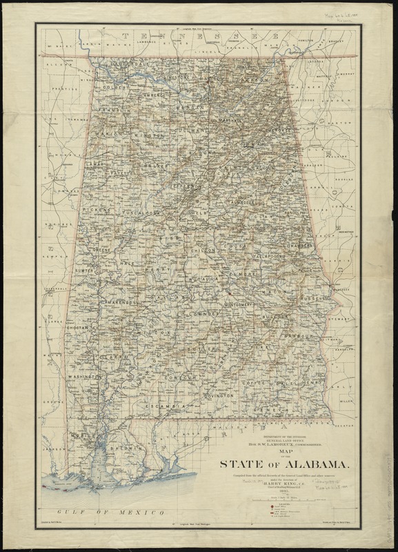
Map of the state of Alabama
Map of the state of Alabama
×
Item Information
Title:
Map of the state of Alabama
Creator:
United States. General Land Office
Name on Item:
compiled from the official records of the General Land Office and other sources under the direction of Harry King, C.E. Chief of Drafting Division G.L.O. ; compiled by Robt. H. Morton ; revised and drawn by Daniel O'Hare.
Date:
1895
Format:
Maps/Atlases
Location:
Boston Public Library
Norman B. Leventhal Map Center
Collection (local):
Norman B. Leventhal Map Center Collection
Subjects:
Alabama--Maps
Places:
Alabama
Extent:
1 map : col. ; 81 x 51 cm.
Permalink:
https://ark.digitalcommonwealth.org/ark:/50959/7h14b372h
Terms of Use:
No known copyright restrictions.
No known restrictions on use.
Publisher:
[Washington, D.C.] : General Land Office
Scale:
Scale [1:760,320]. 1 inch = 12 miles
Language:
English
Notes:
Prime meridians: Washington and Greenwich.
Relief shown by shading.
Identifier:
06_01_008849
Call #:
G3970 1895 .U55
Barcode:
39999065657379
show more...
View MODS XML
More Like This
Alabama
Map of Alabama, showing location of property owned by the Fort ...
Map of Louisiana, Mississippi and Alabama : constructed from the ...
Map of northern Georgia
Find More Like This >>
Tools
Share
Facebook
Pinterest
X
Reddit
Tumblr
Email
Copy link
Add to Folder
Questions/Comments
Cite This Item
IIIF Manifest
Downloads
Primary (full resolution, uncompressed)
(TIF, 207 MB)
Large (full resolution)
(JPEG, 17.4 MB)
Medium
(JPEG, 212 KB)
GeoTIFF (georeferenced)
(TIF, 292 MB)