Skip to search
Skip to main content
Digital Commonwealth
Sign Up / Log In
Search for
Search
Search
Search
Basic
Advanced
Explore
Map
Collections
Institutions
Formats
For Educators
Primary Source Sets
Lesson Plans
Using Primary Sources
Searching Digital Commonwealth
For Institutions
Join Digital Commonwealth
Conferences, Trainings, & Events
How to Contribute Collections
Digitization Services
Board & Committees
Frequently Asked Questions
About
About Digital Commonwealth
News & Announcements
Copyright & Terms of Use
Harmful Content Statement
Partners
API
Contact Us
Boston Public Library
Norman B. Leventhal Map Center Collection
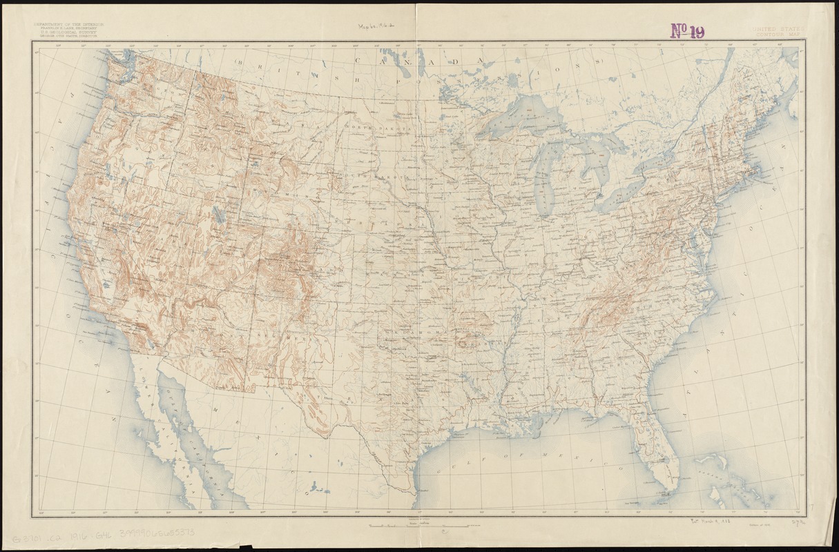
United States contour map
United States contour map
×
Item Information
Title:
United States contour map
Creator:
Geological Survey (U.S.)
Name on Item:
Department of the Interior, U.S. Geological Survey.
Date:
[1916]
Format:
Maps/Atlases
Location:
Boston Public Library
Norman B. Leventhal Map Center
Collection (local):
Norman B. Leventhal Map Center Collection
Subjects:
United States--Maps
Places:
Extent:
1 map : col. ; 43 x 71 cm.
Permalink:
https://ark.digitalcommonwealth.org/ark:/50959/7h149z32j
Terms of Use:
No known copyright restrictions.
No known restrictions on use.
Publisher:
[Washington, D.C.] : The Survey
Edition:
Ed. of 1916.
Scale:
Scale 1:7,000,000.
Language:
English
Notes:
Relief shown by contours.
Notes (date):
This date is inferred.
Identifier:
06_01_008588
Call #:
G3701.C2 1916 .G46
Barcode:
39999065655373
show more...
View MODS XML
More Like This
19th annual convention of the National Association of Real Estate ...
2005 significant U.S. hurricane strikes
38,000,000 escaped -- 10,000,000 died
Aboriginal map of North America, denoting the boundaries and the ...
Find More Like This >>
Tools
Share
Facebook
Pinterest
X
Reddit
Tumblr
Email
Copy link
Add to Folder
Questions/Comments
Cite This Item
IIIF Manifest
Downloads
Primary (full resolution, uncompressed)
(TIF, 128 MB)
Large (full resolution)
(JPEG, 10.7 MB)
Medium
(JPEG, 319 KB)
GeoTIFF (georeferenced)
(TIF, 150 MB)