Skip to search
Skip to main content
Digital Commonwealth
Sign Up / Log In
Search for
Search
Search
Search
Basic
Advanced
Explore
Map
Collections
Institutions
Formats
For Educators
Primary Source Sets
Lesson Plans
Using Primary Sources
Searching Digital Commonwealth
For Institutions
Join Digital Commonwealth
Conferences, Trainings, & Events
How to Contribute Collections
Digitization Services
Board & Committees
Frequently Asked Questions
About
About Digital Commonwealth
News & Announcements
Copyright & Terms of Use
Harmful Content Statement
Partners
API
Contact Us
Boston Public Library
Norman B. Leventhal Map Center Collection
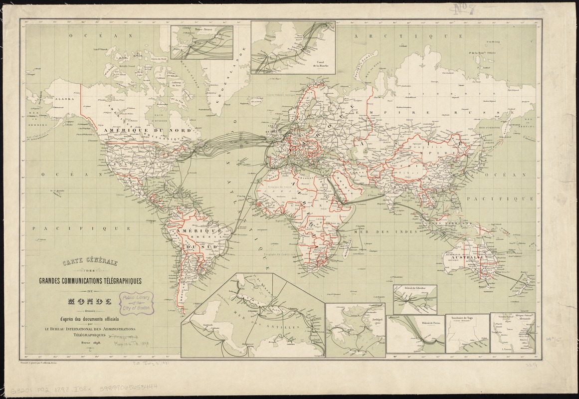
Carte générale des grandes communications télégraphiques du monde
Carte générale des grandes communications télégraphiques du monde
×
Item Information
Title:
Carte générale des grandes communications télégraphiques du monde
Creator:
International Telegraph Bureau (Bern, Switzerland)
Name on Item:
dressée d'après des documents officiels par le Bureau International des Administrations Télégraphiques ; dessinée et gravée par C. v. Hoven.
Date:
1898
Format:
Maps/Atlases
Location:
Boston Public Library
Norman B. Leventhal Map Center
Collection (local):
Norman B. Leventhal Map Center Collection
Subjects:
Telegraph lines--Maps
Telecommunication--Maps
World maps--Maps
Places:
World
Extent:
1 map : col. ; 39 x 29 cm.
Permalink:
https://ark.digitalcommonwealth.org/ark:/50959/7h149w146
Terms of Use:
No known copyright restrictions.
No known restrictions on use.
Publisher:
Berne : Bureau International des Administrations Télégraphiques
Scale:
Scale [ca. 1:70,000,000]
Language:
French
Notes:
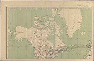
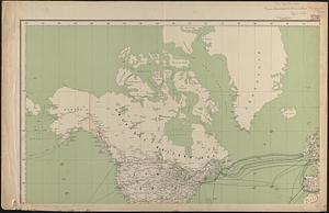
Insets: Terre-Neuve -- Canal de la Manche -- Mer Jaune -- Mer des Antilles -- Archipel-Grec -- Détroit de Gibraltar -- Détroit de Perim -- Territoire de Togo -- Afrique orientle. Allemande.
In French.
Identifier:
06_01_008390
Call #:
G3201.P92 1898 .I58x
Barcode:
39999065653444
show more...
View MODS XML
More Like This
Carte générale des grandes communications télégraphiques du monde
Carte des communications télégraphiques du régime extra-européen
Carte des communications télégraphiques du régime extra-européen
Map showing the telegraph lines in operation, under contract, and ...
Find More Like This >>
Tools
Share
Facebook
Pinterest
X
Reddit
Tumblr
Email
Copy link
Add to Folder
Questions/Comments
Cite This Item
IIIF Manifest
Downloads
Primary (full resolution, uncompressed)
(TIF, 94.4 MB)
Large (full resolution)
(JPEG, 7.92 MB)
Medium
(JPEG, 317 KB)