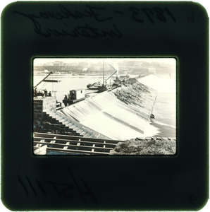
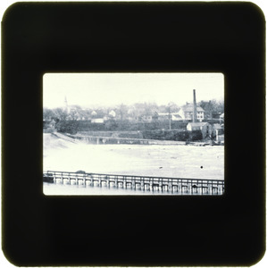
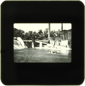
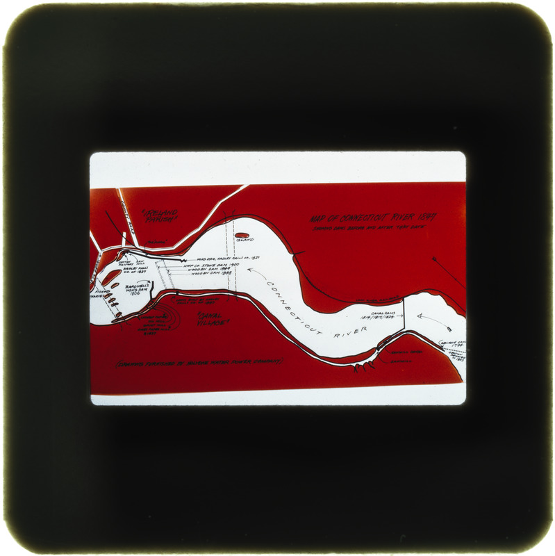
Map of river showing dams
Item Information
- Title:
- Map of river showing dams
- Date:
-
[ca. 1950–1980]
- Format:
-
Photographs
- Genre:
-
Slides
- Location:
- South Hadley Public Library
- Collection (local):
-
Canal Park Committee Records
- Subjects:
-
Dams
Maps
Rivers
- Places:
-
MassachusettsHampden (county)Holyoke
Holyoke Dam
- Extent:
- 1 photograph : color transparency ; 35 mm (slide format)
- Permalink:
- https://ark.digitalcommonwealth.org/ark:/50959/70797m446
- Terms of Use:
-
No known copyright restrictions.
This work is licensed for use under a Creative Commons Attribution License (CC BY).