Skip to search
Skip to main content
Digital Commonwealth
Sign Up / Log In
Search for
Search
Search
Search
Basic
Advanced
Explore
Map
Collections
Institutions
Formats
For Educators
Primary Source Sets
Lesson Plans
Using Primary Sources
Searching Digital Commonwealth
For Institutions
Join Digital Commonwealth
Conferences, Trainings, & Events
How to Contribute Collections
Digitization Services
Board & Committees
Frequently Asked Questions
About
About Digital Commonwealth
News & Announcements
Copyright & Terms of Use
Harmful Content Statement
Partners
API
Contact Us
Boston Public Library
Norman B. Leventhal Map Center Collection
/
Urban Maps (Collection of Distinction)
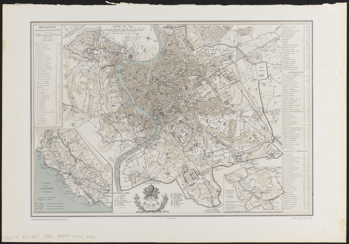
Plan de Rome
Plan de Rome
×
Item Information
Title:
Plan de Rome
Cartographer:
Benoist, Félix, 1818-1868
Name on Item:
Félix Benoist del. & lith. ; Ménard scripsit
Date:
1869
Format:
Maps/Atlases
Location:
Boston Public Library
Norman B. Leventhal Map Center
Collection (local):
Norman B. Leventhal Map Center Collection
Subjects:
Rome (Italy)--Maps
Places:
Italy
>
Latian
(region)
>
Roma
(province)
>
Rome
Extent:
1 map : color ; 27 x 40 cm
Permalink:
https://ark.digitalcommonwealth.org/ark:/50959/4m90fp72x
Terms of Use:
No known copyright restrictions.
No known restrictions on use.
Publisher:
Nantes : Charpentier
Scale:
Scale approximately 1:18,000
Language:
French
Notes:
Relief shown by shading.
Insets: Carte de la campagne de Rome -- Enceintes successives de Rome.
Includes index.
Identifier:
06_01_013978
Call #:
G6714.R7 1869 .B46
Barcode:
39999065698506
show more...
View MODS XML
More Like This
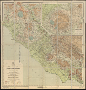
Carta topografica della provincia di Roma e regioni limitrofe con ...
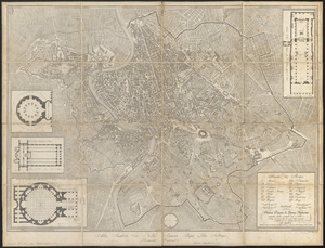
Nuova pianta di Roma moderna : estratta dalla grande del Nolli ...
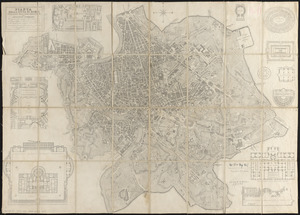
Pianta della citta di Roma
Pianta di Roma
Find More Like This >>
Tools
Share
Facebook
Pinterest
X
Reddit
Tumblr
Email
Copy link
Add to Folder
Questions/Comments
Cite This Item
IIIF Manifest
Downloads
Primary (full resolution, uncompressed)
(TIF, 108 MB)
Large (full resolution)
(JPEG, 9.08 MB)
Medium
(JPEG, 358 KB)