Skip to search
Skip to main content
Digital Commonwealth
Sign Up / Log In
Search for
Search
Search
Search
Basic
Advanced
Explore
Map
Collections
Institutions
Formats
For Educators
Primary Source Sets
Lesson Plans
Using Primary Sources
Searching Digital Commonwealth
For Institutions
Join Digital Commonwealth
Conferences, Trainings, & Events
How to Contribute Collections
Digitization Services
Board & Committees
Frequently Asked Questions
About
About Digital Commonwealth
News & Announcements
Copyright & Terms of Use
Harmful Content Statement
Partners
API
Contact Us
Boston Public Library
Norman B. Leventhal Map Center Collection
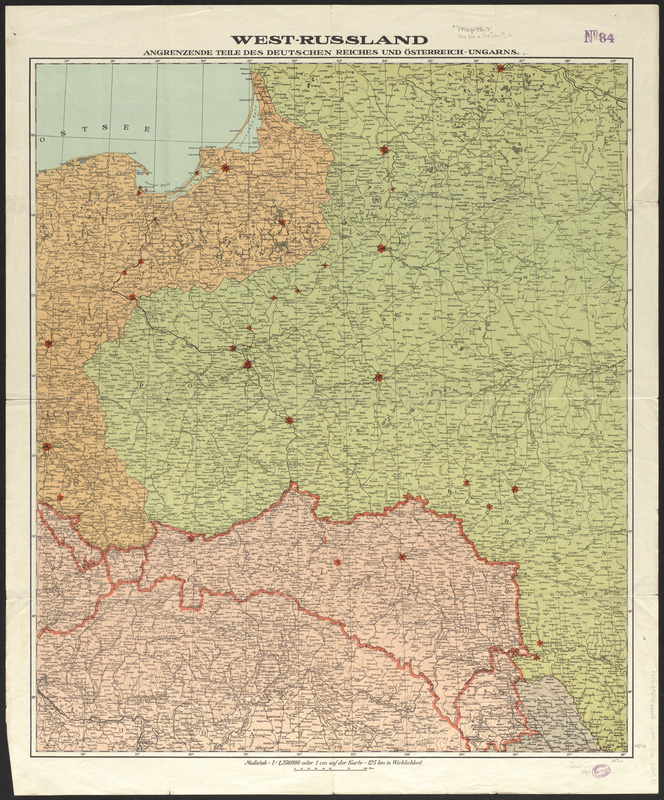
West-Russland angrenzende teile des Deutschen reiches und Österreich-Ungarn
West-Russland angrenzende teile des Deutschen reiches und Österreich-Ungarn
×
Item Information
Title:
West-Russland angrenzende teile des Deutschen reiches und Österreich-Ungarn
Date:
[ca. 1910–1919]
Format:
Maps/Atlases
Location:
Boston Public Library
Norman B. Leventhal Map Center
Collection (local):
Norman B. Leventhal Map Center Collection
Subjects:
Europe, Central--Maps
Austria--Maps
Places:
Austria
Central Europe
(area)
Extent:
1 map : color ; 76 x 65 cm
Permalink:
https://ark.digitalcommonwealth.org/ark:/50959/4m90fp39w
Terms of Use:
No known copyright restrictions.
No known restrictions on use.
Publisher:
[Place of publication not identified] : [publisher not identified]
Scale:
Scale 1:1,250,000
Language:
German
Identifier:
06_01_012639
Call #:
G6480 1910 .W47
Barcode:
39999065697193
show more...
View MODS XML
More Like This
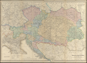
G. Freytags völker- und sprachenkarte von Österreich-Ungarn
General-strassen & ortskarte des Österreichisch-Ungarischen ...
Austria Hungary
Austria Hungary
Find More Like This >>
Tools
Share
Facebook
Pinterest
X
Reddit
Tumblr
Email
Copy link
Add to Folder
Questions/Comments
Cite This Item
IIIF Manifest
Downloads
Primary (full resolution, uncompressed)
(TIF, 115 MB)
Large (full resolution)
(JPEG, 9.62 MB)
Medium
(JPEG, 316 KB)