Skip to search
Skip to main content
Digital Commonwealth
Sign Up / Log In
Search for
Search
Search
Search
Basic
Advanced
Explore
Map
Collections
Institutions
Formats
For Educators
Primary Source Sets
Lesson Plans
Using Primary Sources
Searching Digital Commonwealth
For Institutions
Join Digital Commonwealth
Conferences, Trainings, & Events
How to Contribute Collections
Digitization Services
Board & Committees
Frequently Asked Questions
About
About Digital Commonwealth
News & Announcements
Copyright & Terms of Use
Harmful Content Statement
Partners
API
Contact Us
Boston Public Library
Norman B. Leventhal Map Center Collection
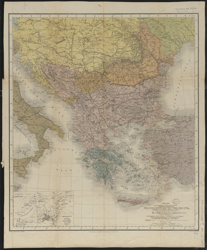
Kriegsschauplatz uebersichtskarte der Europäischen Türkei mit den vasallenstaaten Montenegro, Serbien, Rumænien u. Griechenland
Kriegsschauplatz uebersichtskarte der Europäischen Türkei mit den vasallenstaaten Montenegro, Serbien, Rumænien u. Griechenland
×
Item Information
Title:
Kriegsschauplatz uebersichtskarte der Europäischen Türkei mit den vasallenstaaten Montenegro, Serbien, Rumænien u. Griechenland
Title (alt.):
Balkan Peninsula
Cartographer:
Gräf, C.
Contributor:
Eyb, O. von
Contributor:
Dellinger
Contributor:
Kratz, III
Publisher:
Geographisches Institut (Weimar, Thuringia, Germany)
Name on Item:
von C. Gräf ; situation u. schrift v. Dellinger u. Kratz III ; terrain v. O. v. Eyb.
Date:
[1877?]
Format:
Maps/Atlases
Location:
Boston Public Library
Norman B. Leventhal Map Center
Collection (local):
Norman B. Leventhal Map Center Collection
Subjects:
Balkan Peninsula--Maps
Places:
Balkan Peninsula
(area)
Extent:
1 map : color ; 56 x 49 cm, folded in cover 24 x 12 cm
Permalink:
https://ark.digitalcommonwealth.org/ark:/50959/4m90fn91x
Terms of Use:
No known copyright restrictions.
No known restrictions on use.
Publisher:
Weimar : Geographisches Institut
Scale:
Scale 1:3,000,000
Language:
German
Notes:
Date of publication estimated from date of acquisition.
Cover title.
Relief shown by hachures.
Prime meridians: Ferro and Paris.
Inset: Der befestigte theil der Dardanellen ; Constantinopel und der Bosporus / nach H. v. Moltke.
Identifier:
06_01_012607
Call #:
G6800 1877 .G73
Barcode:
39999065697664
show more...
View MODS XML
More Like This
Balkan Peninsula
Balkan peninsula
Die Balkan-Halbinsel in 4 blättern : Türkei, Rumänien, ...
The Balkans
Find More Like This >>
Tools
Share
Facebook
Pinterest
X
Reddit
Tumblr
Email
Copy link
Add to Folder
Questions/Comments
Cite This Item
IIIF Manifest
Downloads
Primary (full resolution, uncompressed)
(TIF, 103 MB)
Large (full resolution)
(JPEG, 8.66 MB)
Medium
(JPEG, 232 KB)