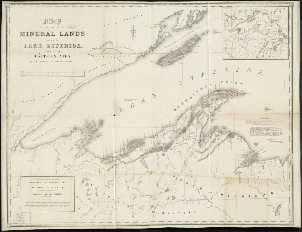
Map of that part of the mineral lands adjacent to Lake Superior, ceded to the United States by the treaty of 1842 with the Chippewas : comprising that district lying between Chocolate River and Fond du Lac, under the superintendency of Genl. John Stockton, U.S. agent
Map of that part of the mineral lands adjacent to Lake Superior, ceded to the United States by the treaty of 1842 with the Chippewas
Item Information
Title:
Map of that part of the mineral lands adjacent to Lake Superior, ceded to the United States by the treaty of 1842 with the Chippewas : comprising that district lying between Chocolate River and Fond du Lac, under the superintendency of Genl. John Stockton, U.S. agent
Relief shown by hachures.
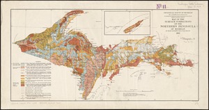
Shows mining claims.
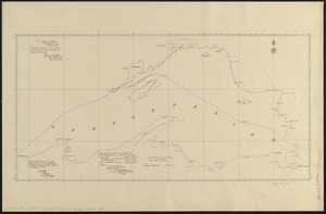
Inset: [Lake Superior region].
"Compiled from surveys and explorations made by direction of the War Department under the superintendence of the U.S. Agency at Copper Harbor; from U.S. surveys made by Dr. Houghton and Wm. A. Burt Esq.; from Nicollet's map of the Upper Mississippi River; and from Bayfield's charts of Lake Superior: vide accompanying report of 1845". (In U.S. 29th Cong., special session Senate 175, no. 461).
Includes errata for accompanying report (House document no. 211), signed by A.B. Gray, Surveyor & Asst. Supt., U.S. Mines.
Does not include ill. of Camp Gray that appears on other versions.