Skip to search
Skip to main content
Digital Commonwealth
Sign Up / Log In
Search for
Search
Search
Search
Basic
Advanced
Explore
Map
Collections
Institutions
Formats
For Educators
Primary Source Sets
Lesson Plans
Using Primary Sources
Searching Digital Commonwealth
For Institutions
Join Digital Commonwealth
Conferences, Trainings, & Events
How to Contribute Collections
Digitization Services
Board & Committees
Frequently Asked Questions
About
About Digital Commonwealth
News & Announcements
Copyright & Terms of Use
Harmful Content Statement
Partners
API
Contact Us
Boston Public Library
Norman B. Leventhal Map Center Collection
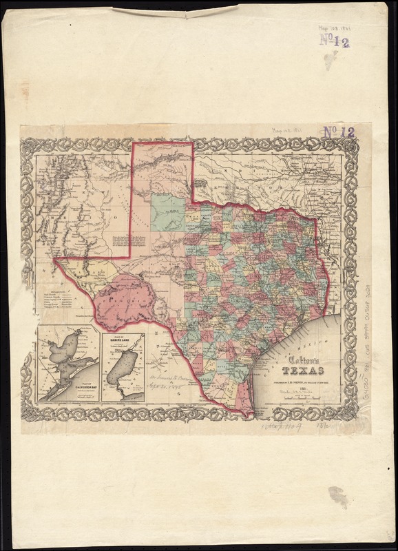
Colton's Texas
Coltons Texas
×
Item Information
Title:
Colton's Texas
Title (alt.):
Texas
Creator:
J.H. Colton & Co
Date:
1861
Format:
Maps/Atlases
Location:
Boston Public Library
Norman B. Leventhal Map Center
Collection (local):
Norman B. Leventhal Map Center Collection
Subjects:
Texas--Maps
Galveston Bay (Tex.)--Maps
Sabine Lake (La. and Tex.)--Maps
Places:
Galveston Bay
Sabine Pass
Extent:
1 map : col. ; 32 x 35 cm.
Permalink:
https://ark.digitalcommonwealth.org/ark:/50959/4m90f688x
Terms of Use:
No known copyright restrictions.
No known restrictions on use.
Publisher:
New York : J.H. Colton & Co.
Scale:
Scale [ca. 1:4,000,000]
Language:
English
Notes:
Relief shown by hachures.
"Entered According to Act of Congress, in the Year 1855, by J.H. Colton & Co. ..."
Prime meridians: Greenwich and Washington.
Insets: Plan of Galveston Bay -- Plan of Sabine Lake.
Identifier:
06_01_011319
Call #:
G4030 1861 .C65
Barcode:
39999065683029
show more...
View MODS XML
More Like This
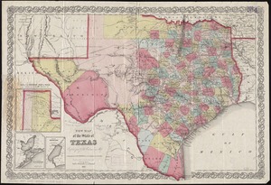
New map of the state of Texas
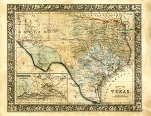
County Map of Texas
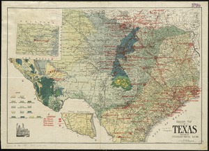
Gallup's map of Texas
Map of a tour from Independence to Santa Fé, Chihuahua, Monterey ...
Find More Like This >>
Tools
Share
Facebook
Pinterest
X
Reddit
Tumblr
Email
Copy link
Add to Folder
Questions/Comments
Cite This Item
IIIF Manifest
Downloads
Primary (full resolution, uncompressed)
(TIF, 91.7 MB)
Large (full resolution)
(JPEG, 7.7 MB)
Medium
(JPEG, 178 KB)