Skip to search
Skip to main content
Digital Commonwealth
Sign Up / Log In
Search for
Search
Search
Search
Basic
Advanced
Explore
Map
Collections
Institutions
Formats
For Educators
Primary Source Sets
Lesson Plans
Using Primary Sources
Searching Digital Commonwealth
For Institutions
Join Digital Commonwealth
Conferences, Trainings, & Events
How to Contribute Collections
Digitization Services
Board & Committees
Frequently Asked Questions
About
About Digital Commonwealth
News & Announcements
Copyright & Terms of Use
Harmful Content Statement
Partners
API
Contact Us
Boston Public Library
Norman B. Leventhal Map Center Collection
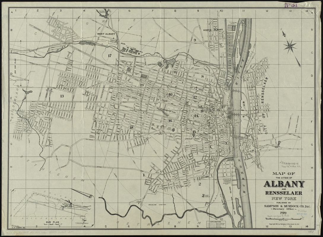
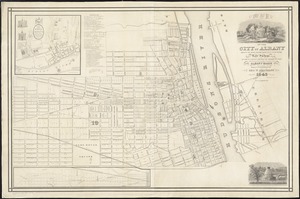
Map of the cities of Albany and Rensselaer, New York
Map of the cities of Albany and Rensselaer, New York
×
Item Information
Title:
Map of the cities of Albany and Rensselaer, New York
Creator:
Sampson, Murdock & Co
Name on Item:
H.M. Condon del.
Date:
1919
Format:
Maps/Atlases
Location:
Boston Public Library
Norman B. Leventhal Map Center
Collection (local):
Norman B. Leventhal Map Center Collection
Subjects:
Albany (N.Y.)--Maps
Rensselaer (N.Y.)--Maps
Places:
Albany (county)
>
Albany
Rensselaer (county)
>
Rensselaer
Extent:
1 map ; 53 x 73 cm.
Permalink:
https://ark.digitalcommonwealth.org/ark:/50959/4m90f218d
Terms of Use:
No known copyright restrictions.
No known restrictions on use.
Publisher:
[New York] : Sampson & Murdock Co.
Scale:
Scale [ca. 1:15,000]
Language:
English
Notes:
Oriented with north to the upper left.
Inset: Sub plan [showing western continuation].
Identifier:
06_01_010699
Call #:
G3804.A3 1919 .S36
Barcode:
39999065676577
show more...
View MODS XML
More Like This
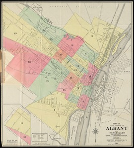
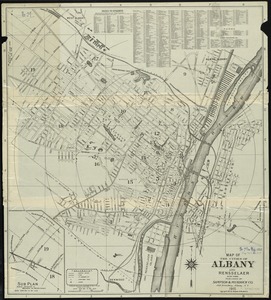
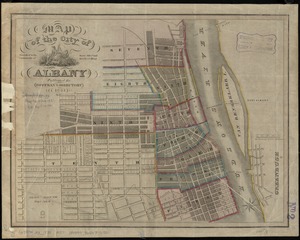
Map of the cities of Albany and Rensselaer and portions of Bath ...
Map of the cities of Albany and Rensselaer, New York
Map of the city of Albany
Map of the city of Albany
Find More Like This >>
Tools
Share
Facebook
Pinterest
X
Reddit
Tumblr
Email
Copy link
Add to Folder
Questions/Comments
Cite This Item
IIIF Manifest
Downloads
Primary (full resolution, uncompressed)
(TIF, 152 MB)
Large (full resolution)
(JPEG, 12.8 MB)
Medium
(JPEG, 331 KB)