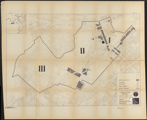
Plans of an area east of Back Bay Park bounded by Boylston and Ipswich Streets, Boston, Mass.
Description:
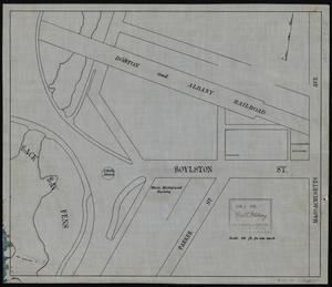
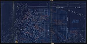
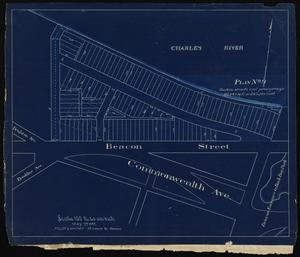
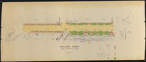
Manuscript base map of an area northeast of the Back Bay Fens, with 8 overlays showing proposed lot divisions of the area bounded by Boylston St., Ipswich St., and Charlesgate E.
Oriented with north to the upper right. Base map erroneously shows north arrow to the top.
Ink on surveyor's vellum.
Plans note square footage and percent of whole that is "Waste in streets and passageways."
Stamp on base map for Wm. H. Whitney, Jan 3 1898 crossed out in pencil.
 IIIF Manifest