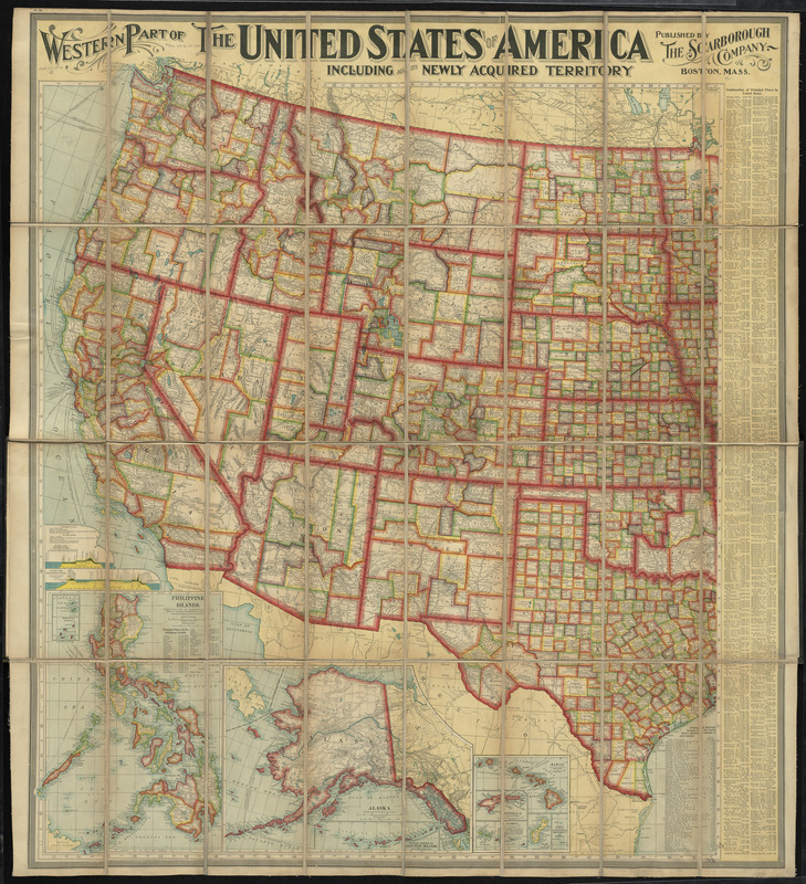
Relief shown by hachures.
Includes indexes with population figures, population charts, list of railroads, canal profiles, and distance tables.
Insets: Philippine Islands -- Alaska -- [South Pacific Islands].
Insets: Cuba -- Porto Rico -- Map showing territorial growth in the United States.
Map of eastern part covered by linen.