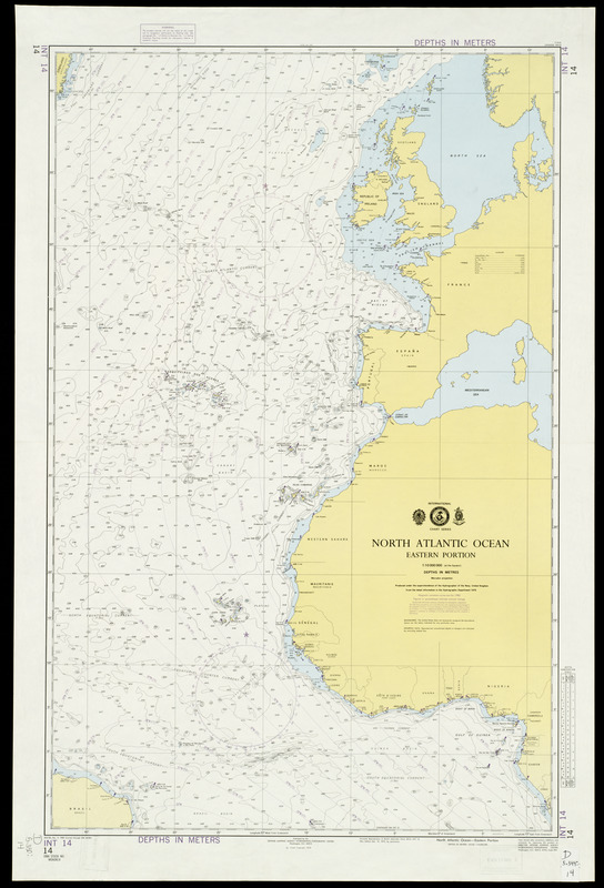
This modern navigational chart provides depth soundings and navigational aids for the eastern portion of the North Atlantic Ocean. Using an extremely small scale (1:10,000, 000 at the Equator), it covers nearly the entire west coasts of Europe and Africa, north of the Equator. This chart demonstrates the relationship of the Atlantic island groups - the Cape Verdes, Canaries, and Azores - to Africa and Europe.
Depth shown by isolines and soundings.
"Facsimile reproduction of British Admiralty chart 4014-INT 14, new edition Dec. 19, 1975 by permission."
Exhibited in “Faces and Places,” at the Boston Public Library, Boston, MA, October 2003 - September 2004.