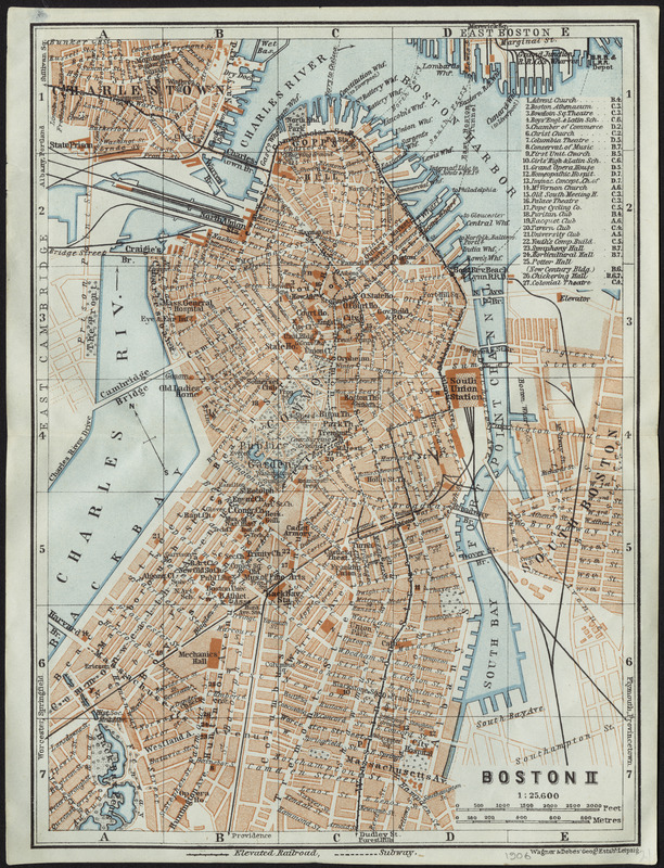
Skip to search
Skip to main content
Digital Commonwealth
Sign Up / Log In
Search for
Search
Search
Search
Basic
Advanced
Explore
Map
Collections
Institutions
Formats
For Educators
Primary Source Sets
Lesson Plans
Using Primary Sources
Searching Digital Commonwealth
For Institutions
Join Digital Commonwealth
Conferences, Trainings, & Events
How to Contribute Collections
Digitization Services
Board & Committees
Frequently Asked Questions
About
About Digital Commonwealth
News & Announcements
Copyright & Terms of Use
Harmful Content Statement
Partners
API
Contact Us
Boston Public Library
Norman B. Leventhal Map Center Collection
/
Mapping Boston Collection
Boston II
Boston II
×
Item Information
Title:
Boston II
Creator:
Wagner & Debes
Cartographer:
Wagner & Debes
Name on Item:
Wagner & Debes' geogl. estabt.
Date:
[1906]
Format:
Maps/Atlases
Location:
Private Collection
Collection (local):
Mapping Boston Collection
Subjects:
Boston (Mass.)--Maps
Places:
Suffolk (county)
>
Boston
Extent:
1 map : color ; 21 x 16 cm
Permalink:
https://ark.digitalcommonwealth.org/ark:/50959/3f463723h
Terms of Use:
No known copyright restrictions.
This work is licensed for use under a Creative Commons Attribution Non-Commercial Share Alike License (CC BY-NC-SA).
Publisher:
Leipzig : Wagner & Debes' geogl. estabt.
Scale:
Scale 1:25,600
Language:
English
Notes:
Oriented with north towards the upper left.
Includes index to points of interest.
Notes (date):
This date is inferred.
Identifier:
06_01_001289
Barcode:
39999065705970
show more...
View MODS XML
More Like This
Boston
Boston
Boston and adjacent cities
Boston and its environs
Find More Like This >>
Tools
Share
Facebook
Pinterest
X
Reddit
Tumblr
Email
Copy link
Add to Folder
Questions/Comments
Cite This Item
IIIF Manifest
Downloads
Primary (full resolution, uncompressed)
(TIF, 53.6 MB)
Large (full resolution)
(JPEG, 4.5 MB)
Medium
(JPEG, 365 KB)
GeoTIFF (georeferenced)
(TIF, 20 MB)