Skip to search
Skip to main content
Digital Commonwealth
Sign Up / Log In
Search for
Search
Search
Search
Basic
Advanced
Explore
Map
Collections
Institutions
Formats
For Educators
Primary Source Sets
Lesson Plans
Using Primary Sources
Searching Digital Commonwealth
For Institutions
Join Digital Commonwealth
Conferences, Trainings, & Events
How to Contribute Collections
Digitization Services
Board & Committees
Frequently Asked Questions
About
About Digital Commonwealth
News & Announcements
Copyright & Terms of Use
Harmful Content Statement
Partners
API
Contact Us
Boston Public Library
Norman B. Leventhal Map Center Collection
/
Boston and New England Maps (Collection of Distinction)
Worcester station
Worcester station
×
Item Information
Title:
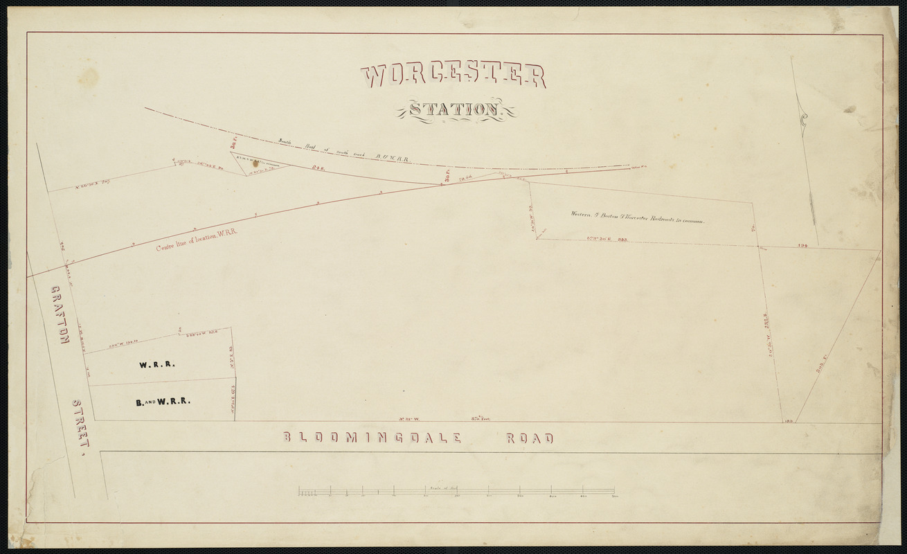
Worcester station
Date:
1880
Format:
Maps/Atlases
Manuscripts
Location:
Boston Public Library
Norman B. Leventhal Map Center
Collection (local):
Norman B. Leventhal Map Center Collection
Subjects:
Worcester (Mass.)--Maps
Railroads--Massachusetts--Worcester--Maps
Places:
Worcester (county)
>
Worcester
Extent:
1 map ; 40 x 69 cm
Permalink:
https://ark.digitalcommonwealth.org/ark:/50959/3f4634954
Terms of Use:
No known copyright restrictions.
No known restrictions on use.
Scale:
Scale 1:600
Language:
English
Notes:
From the Station grounds plat book of Worcester, MA and west.
Identifier:
06_01_004023
Call #:
G1231.P3 S7 1880x
Barcode:
39999059003549
show more...
View MODS XML
More Like This
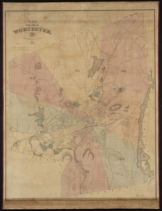
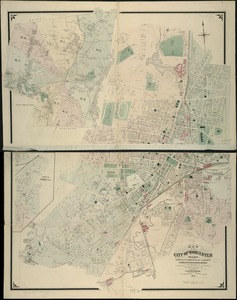
Map of the city of Worcester
Map of the city of Worcester, Mass.
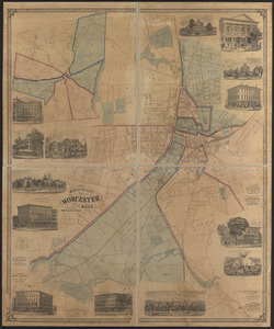
Map of the city of Worcester, Mass
Map of Worcester Mass
Find More Like This >>
Tools
Share
Facebook
Pinterest
X
Reddit
Tumblr
Email
Copy link
Add to Folder
Questions/Comments
Cite This Item
IIIF Manifest
Downloads
Primary (full resolution, uncompressed)
(TIF, 48.3 MB)
Large (full resolution)
(JPEG, 4.05 MB)
Medium
(JPEG, 225 KB)