Skip to search
Skip to main content
Digital Commonwealth
Sign Up / Log In
Search for
Search
Search
Search
Basic
Advanced
Explore
Map
Collections
Institutions
Formats
For Educators
Primary Source Sets
Lesson Plans
Using Primary Sources
Searching Digital Commonwealth
For Institutions
Join Digital Commonwealth
Conferences, Trainings, & Events
How to Contribute Collections
Digitization Services
Board & Committees
Frequently Asked Questions
About
About Digital Commonwealth
News & Announcements
Copyright & Terms of Use
Harmful Content Statement
Partners
API
Contact Us
Boston Public Library
Norman B. Leventhal Map Center Collection
/
American Revolutionary War-Era Maps (Collection of Distinction)
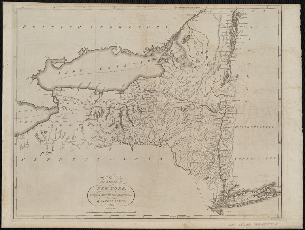
The state of New York, compiled from the best authorities
The state of New York, compiled from the best authorities
×
Item Information
Title:
The state of New York, compiled from the best authorities
Creator:
Lewis, Samuel, 1753 or 4-1822
Cartographer:
Lewis, Samuel, 1753 or 4-1822
Engraver:
Harrison, William, 1774-
Publisher:
Carey, Mathew, 1760-1839
Name on Item:
by Samuel Lewis ; Harrison Junr. sc.
Date:
[1800]
Format:
Maps/Atlases
Location:
Boston Public Library
Norman B. Leventhal Map Center
Collection (local):
Norman B. Leventhal Map Center Collection
Subjects:
New York (State)--Maps
Places:
New York
Extent:
1 map ; 40 x 51 cm
Permalink:
https://ark.digitalcommonwealth.org/ark:/50959/3f463003k
Terms of Use:
No known copyright restrictions.
No known restrictions on use.
Publisher:
[Philadelphia] : [Mathew Carey]
Scale:
Scale approximately 1:1,350,000
Language:
English
Notes:
Relief shown pictorially.
Prime meridians: Philadelphia and London.
In upper right margin: 31.
Map 31 in his Carey's general atlas. Philadelphia : Mathew Carey, 1800.
Notes (date):
This date is inferred.
Identifier:
06_01_004550
Call #:
G1015 .C3 1800x
Barcode:
30000005056550
show more...
View MODS XML
More Like This
Connecticut with portions of New York & Rhode Island
E.P. Dutton & Co.'s railroad, steam boat & stage route map of New ...
Hale's map of the central & western parts of Massachusetts, with a ...
Map exhibiting the rail road, canal, lake and river routes from ...
Find More Like This >>
Tools
Share
Facebook
Pinterest
X
Reddit
Tumblr
Email
Copy link
Add to Folder
Questions/Comments
Cite This Item
IIIF Manifest
Downloads
Primary (full resolution, uncompressed)
(TIF, 56.5 MB)
Large (full resolution)
(JPEG, 4.74 MB)
Medium
(JPEG, 311 KB)