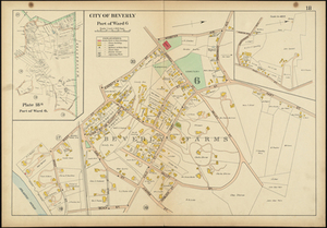
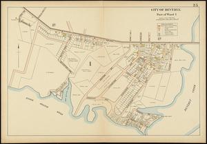
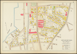
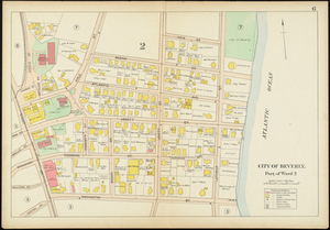
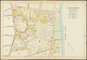
Map of Beverly, Massachusetts, showing specifically part of ward 6 and Beverly Farms. This map shows street names, names of property owners, residences, businesses, railroads, railroad stations, parks, cemeteries, schools, churches, playgrounds. This is part of a larger volume titled, Atlas of the City of Beverly.