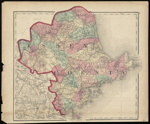
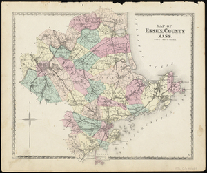
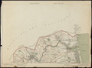
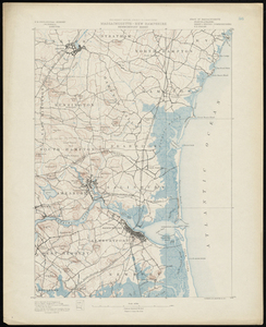
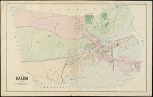
Relief shown by hachures. Shows towns, settlements, school houses, churches, roads, railroads, marshes, etc. Titles from place name printed on county map. Plate taken from: Walling, Henry Francis, 1825-1888. Official Topographical Atlas of Massachusetts, Philadelphia, Penn. : Stedman, Brown & Lyon, 1871.