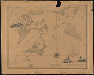
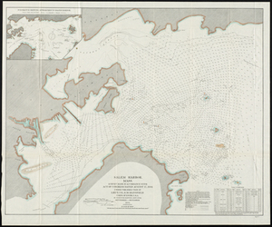
Chart of the Harbours of Salem, Marblehead, Beverly, and Manchester From a Survey Taken in the Years 1804, 5 & 6 by Nathl. Bowditch AM.AAS. Adjusted by Geo. Burchmen & Wm Ropes 3d.
Chart of the Harbours of Salem, Marblehead, Beverly, and Manchester From a Survey Taken in the Years 1804, 5 & 6 by Nathl. Bowditch AM.AAS. Adjusted by Geo. Burchmen & Wm Ropes 3d.
Description:
The 2nd edition of Nathaniel Bowditch's famous map of Salem Harbor. "Additions and alterations made in the Second Edition by Charles M. Endicott with the assistance of Joseph Perkins Jr. Branch Pilot." 52 x 65 cm.