Skip to search
Skip to main content
Digital Commonwealth
Sign Up / Log In
Search for
Search
Search
Search
Basic
Advanced
Explore
Map
Collections
Institutions
Formats
For Educators
Primary Source Sets
Lesson Plans
Using Primary Sources
Searching Digital Commonwealth
For Institutions
Join Digital Commonwealth
Conferences, Trainings, & Events
How to Contribute Collections
Digitization Services
Board & Committees
Frequently Asked Questions
About
About Digital Commonwealth
News & Announcements
Copyright & Terms of Use
Harmful Content Statement
Partners
API
Contact Us
Historic New England
Nina Heald Webber Cape Cod Canal collection (MS028)
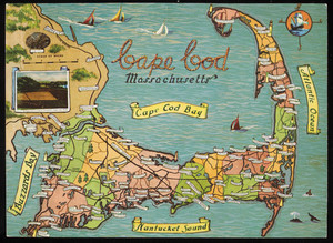
Color postcard of tourist map of Cape Cod, Mass.
View this item online at Historic New England
Item Information
Title:
Color postcard of tourist map of Cape Cod, Mass.
Description:
1 color postcard of a tourist map of Cape Cod illustrated with cities and towns and surrounding seas, c. 1958.
Publisher:
Curt Teich and Co.
Date:
2013
Format:
Postcards/Cards
Photographs
Genre:
postcards
Location:
Historic New England
Collection (local):
MS028: Nina Heald Webber Cape Cod Canal collection
Subjects:
tourist maps
Places:
Massachusetts
>
Barnstable (county)
>
Cape Cod
(area)
Extent:
1 color postcard of a tourist map of Cape Cod; 6.5" x 9"; 6.5 in. x 9 in. (H x W)
Link to Item:
http://gusn.us/291613
Terms of Use:
Rights status not evaluated.
Contact host institution for more information.
Identifier:
291613
Call #:
MS028.04.028.019
show more...
View MODS XML
More Like This
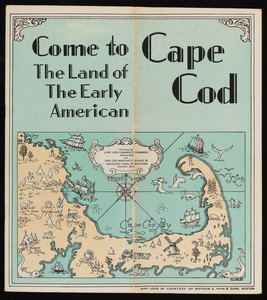
"Come to Cape Cod: The Land of the Early American"
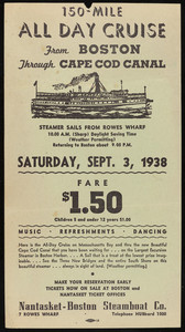
150-Mile All Day Cruise from Boston through Cape Cod Canal flyer
"1935 Summer Resorts in Southern New England"
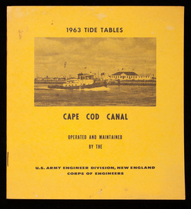
"1963 Tide Tables"
Find More Like This >>
Tools
Share
Facebook
Pinterest
X
Reddit
Tumblr
Email
Copy link
Add to Folder
Questions/Comments
Cite This Item