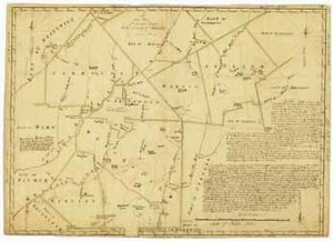
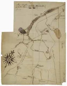
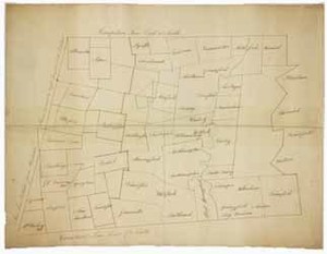
Manuscript plan of Worcester County, 30 March 1785
Description:
Rufus Putnam (1738-1824), a farmer, surveyor, and soldier, made this "New Plan of Several Towns in the County of Worcester," in 1785 when he lived in Rutland, Massachusetts. This is a remarkable overview map of many (but not all) towns within Worcester County, Massachusetts. The manuscript map shows town lines, roads, ponds, rivers, meeting houses, mills, meadows, hills, and other places of interest for the following towns: Greenwich, Petersham, Barre, Hubbardston, Princeton, Holden, Paxton, Spencer, Sturbridge, Charleton, Brookfield, Western (now Warren), Brimfield, Ware, Hardwick, New Braintree, Oakham, and Rutland. Notable rivers and ponds include the Ware River, the Quaboug River, the Swift River, the Merrimac River, the Quaboug Pond and Wickboug Pond. Handwritten title on map: "A New Plan of Several Towns in the County of Worcester"
Item from the collections of the Massachusetts Historical Society. Image use and licensing information: www.masshist.org/library/permissions
Contact host institution for more information.