Skip to search
Skip to main content
Digital Commonwealth
Sign Up / Log In
Search for
Search
Search
Search
Basic
Advanced
Explore
Map
Collections
Institutions
Formats
For Educators
Primary Source Sets
Lesson Plans
Using Primary Sources
Searching Digital Commonwealth
For Institutions
Join Digital Commonwealth
Conferences, Trainings, & Events
How to Contribute Collections
Digitization Services
Board & Committees
Frequently Asked Questions
About
About Digital Commonwealth
News & Announcements
Copyright & Terms of Use
Harmful Content Statement
Partners
API
Contact Us
Historic New England
Nina Heald Webber Cape Cod Canal collection (MS028)
Cape Cod Seaplanes map
View this item online at Historic New England
Item Information
Title:
Cape Cod Seaplanes map
Description:
A map of the Cape Cod Seaplanes Company routes and services between Cape Cod, the islands, and the main land.
Date:
2015
Format:
Maps/Atlases
Ephemera
Genre:
maps (documents)
Location:
Historic New England
Collection (local):
MS028: Nina Heald Webber Cape Cod Canal collection
Subjects:
transportation maps
tourism
seaplanes
Places:
Massachusetts
>
Barnstable (county)
>
Cod, Cape
Massachusetts
>
Cape Cod Canal
Extent:
1 folded map
Link to Item:
http://gusn.us/324082
Terms of Use:
Rights status not evaluated.
Contact host institution for more information.
Notes:
Gift of Nina Heald Webber, 2015.
Identifier:
324082
Call #:
MS028.01.010.22
show more...
View MODS XML
More Like This
"1935 Summer Resorts in Southern New England"
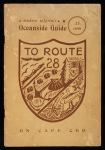
"A Modern Pilgrim's Oceanside Guide to Route 28 on Cape Cod"
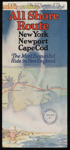
All Shore Route
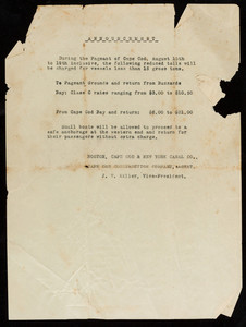
Announcement about change in tolls
Find More Like This >>
Tools
Share
Facebook
Pinterest
X
Reddit
Tumblr
Email
Copy link
Add to Folder
Questions/Comments
Cite This Item