Skip to search
Skip to main content
Digital Commonwealth
Sign Up / Log In
Search for
Search
Search
Search
Basic
Advanced
Explore
Map
Collections
Institutions
Formats
For Educators
Primary Source Sets
Lesson Plans
Using Primary Sources
Searching Digital Commonwealth
For Institutions
Join Digital Commonwealth
Conferences, Trainings, & Events
How to Contribute Collections
Digitization Services
Board & Committees
Frequently Asked Questions
About
About Digital Commonwealth
News & Announcements
Copyright & Terms of Use
Harmful Content Statement
Partners
API
Contact Us
Historic New England
Nina Heald Webber Cape Cod Canal collection (MS028)
An Historical Map of Falmouth Village
View this item online at Historic New England
Item Information
Title:
An Historical Map of Falmouth Village
Description:
A historical map of Falmouth Village published by the H. V. Lawrence Nursery Company of Falmouth, Massachusetts. The map is part of an advertisment for the nursery company.
Publisher:
H.V. Lawrence Nursery Company (Falmouth, Mass.)
Date:
2015
Format:
Maps/Atlases
Ephemera
Genre:
historical maps
advertisements
Location:
Historic New England
Collection (local):
MS028: Nina Heald Webber Cape Cod Canal collection
Subjects:
maps (documents)
nurseries (horticulture)
advertisements
Places:
Massachusetts
>
Barnstable (county)
>
Cod, Cape
Massachusetts
>
Cape Cod Canal
Extent:
1 map
Link to Item:
http://gusn.us/324070
Terms of Use:
Rights status not evaluated.
Contact host institution for more information.
Notes:
Gift of Nina Heald Webber, 2015.
Identifier:
324070
Call #:
MS028.01.010.018
show more...
View MODS XML
More Like This
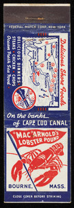
"Mac" Arnold's Lobster Pound matchbook cover
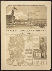
View of Faneuil and Quincy Halls, Boston, during the Great Fair, 1850
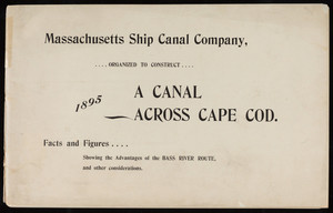
"A Canal Across Cape Cod"
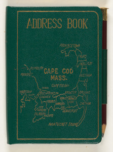
Address book
Find More Like This >>
Tools
Share
Facebook
Pinterest
X
Reddit
Tumblr
Email
Copy link
Add to Folder
Questions/Comments
Cite This Item