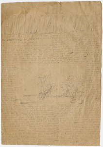
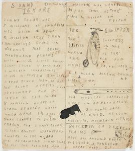
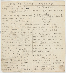
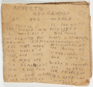
A detailed attempt by an unidentified Nelson brother to map out the geography, natural resources and agricultural production of their imagined world. Much of the text is written in a question and answer format. Maps depict both the large land masses of Big Continent, Long Continent and Round Continent as well as smaller areas including Briarwood, Grassington and Poplington. Illustrations are used throughout, some of which are in color.
Public Domain: We believe this material to be in the public domain and free of known restrictions under copyright law, including all related and neighboring rights. While Amherst College Archives & Special Collections claims no rights or authority over this material, we do ask that any publication or use of this material cite the Archives & Special Collections at Amherst College as the source of the images and the repository where the original documents can be found.
Contact host institution for more information.
![Gazetter [sic] of the world](https://bpldcassets.blob.core.windows.net/derivatives/metadata/commonwealth-oai:6q1835614/image_thumbnail_300.jpg)