Arnold Arboretum Horticultural Library
Arnold Arboretum Maps and Plans
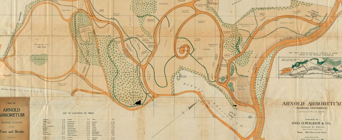
Since its inception in 1872, the Arnold Arboretum of Harvard University has collected maps of its grounds and hardscape. These large-format documents provide valuable information to researchers and staff. Over 130 of these documents are now available in digital format. Most were produced in the early twentieth century and detail changes in the Arboretum landscape over time. They also provide a fascinating look at the history of land use in the City of Boston.
Read more about Arnold Arboretum maps and geographic information systems (GIS).
Read more about Arnold Arboretum maps and geographic information systems (GIS).